


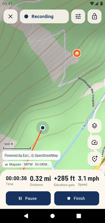
With the screen off
Recording goes on with the screen off and the phone in your pocket. The notification shows the time and distance, and lets you pause, add a waypoint or finish without opening the app.
Accurate figures
- Recording profiles for walking and hiking, running, cycling, and car or motorbike adapt the precision to your speed;
- auto-pause stops the clock when you stop;
- barometric altitude uses the phone's pressure sensor, when it has one, for a steadier climb;
- a lost GPS signal starts a new segment, so no straight line crosses a tunnel or a gorge.
Nothing is lost
A draft is saved every 15 seconds. If the phone restarts or the app is closed, the recording is offered again the next time you open it.
Sensors and automation
Pair standard Bluetooth sensors once — heart-rate belts, cycling speed and cadence, running pods, power meters — and they connect by themselves. Tasker and Automate can start, pause and stop a recording. At the end, the track is saved as a GPX file in your library, ready to share.